Saturday
11 July, 2026
News Flash
News Flash
By Md Mamun Islam
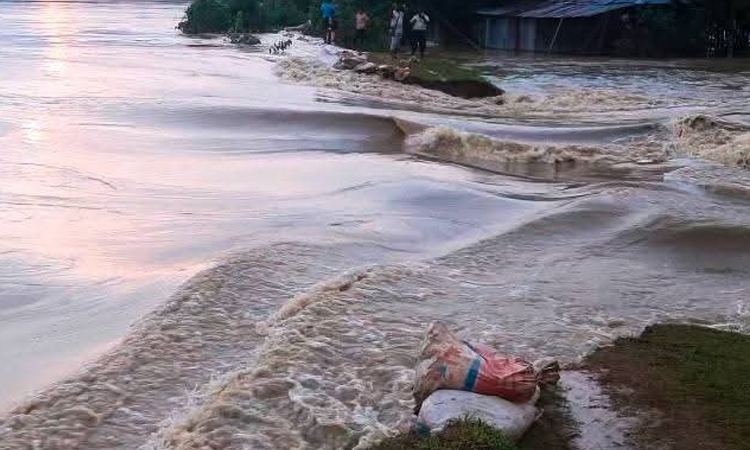
RANGPUR, July 10, 2026 (BSS) - Due to the probability of heavy rainfall in the Brahmaputra basin, there is a possibility of short-term flooding in some low-lying areas of Nilphamari, Lalmonirhat and Rangpur districts in the next 24 to 48 hours.
Bangladesh Water Development Board (BWDB) officials said that water levels of the Teesta, Dharla and Dudhkumar rivers in Rangpur division of the basin have marked both rise and fall at different places during the last 24 hours.
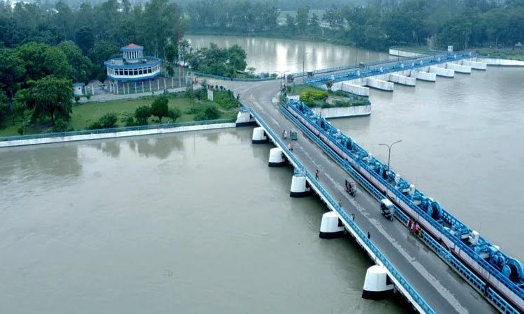
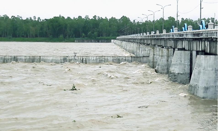
During the next 24 to 48 hours, water level of the Teesta may rise above the danger level (DL) at some locations in Nilphamari, Lalmonirhat, and Rangpur districts, resulting in short-duration flooding in adjacent floodplains and low-lying areas.
Furthermore, within the next 72 hours, water levels of the Dharla and Dudhkumar in Lalmonirhat and Kurigram districts may rise to the warning level, and adjacent low-lying areas may experience temporary inundation.
Talking to BSS, Superintending Engineer of BWDB Rangpur Circle Md Ahsan Habib said that water level of the Teesta is marking both rise and fall like water level of other major rivers at different places in the Brahmaputra basin during the last 24 hours.
If heavy monsoon rains continue in the upstream and downstream parts of the river basin for the next two to three days, there is a possibility of short-term flooding along the Teesta, Dudhkumar and Dharla rivers.
"However, there is no forecast of major flooding in the next few days," he said and added that BWDB officials are closely monitoring the situation.
Meanwhile, sporadic incidents of river erosion have occurred in the erosion-prone areas of the Teesta, Dharla, Brahmaputra and Dudhkumar from few places of Kurigram, Gaibandha and Lalmonirhat, both during the increase and decrease in water levels.
According to BWDB sources, although the Teesta crossed its DL by 3cm at 9 pm on Thursday, its water level continued to fluctuate for the last 24 hours and it has been flowing below the DL since this morning.
At 3 pm today, the Teesta was flowing below its DL by 16cm at Dalia in Nilphamari, 25cmm below DL at Kawnia in Rangpur and 27cm below DL at Tarapur and 99cm below DL at Haripur points in Gaibandha.
The Dharla was flowing 167cm below its DL at Kurigram point, Dudhkumar was flowing 93cm below at Pateshwari point in Kurigram, Ghaghot was flowing 167cm below DL at Gaibandha point at 3 pm today.
The Brahmaputra was flowing below DL by 187cm at Noonkhawa, 163cm at Hatia and 139cm at Chilmari points respectively at 3 pm today.
At 3 pm today, the Jamuna was flowing below its DL by 150cm at Fulchhari, 147cm at Bahadurabad, 168cm at Shaghata, 154cm at Sariakandi, 194cm at Kazipur and 150cm at Sirajganj points.
Meanwhile, the Flood Forecasting and Warning Center (FFWC) of BWDB in a bulletin today said that during the next 24 to 48 hours, heavy to very heavy rainfall is forecast over five divisions of Bangladesh and heavy rainfall is forecast over the adjoining upstream regions of Tripura, Meghalaya and West Bengal in India.
The well-marked low-pressure area over northwestern Madhya Pradesh and adjoining areas in India has weakened into a low-pressure area and is currently located over central Uttar Pradesh and adjoining areas. It may weaken further.
The recorded rainfalls in the upstream Indian states during the last 24 hours till 9am today were 177mm at Mawsynram, 143mm at Coochbehar, 135mm at Mawkyrwat, 120mm at RKM Sohra and 109mm Cherrapunji points.
During the same period, in northern Bangladesh, the recorded rainfalls were 42mm at Dalia point in Nilphamari, 20mm at Chilmari point in Kurigram and 38.4mm at Sirajganj points.