Saturday
06 June, 2026
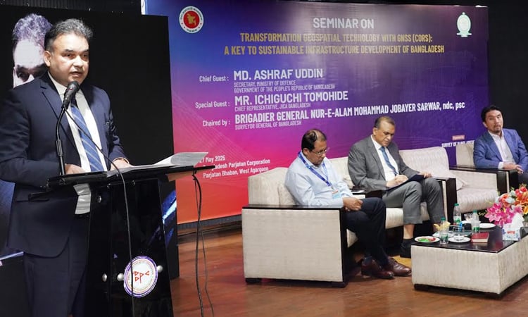
DHAKA, May 27, 2025 (BSS) - A seminar on 'Geospatial Technology Transformation: GNSS (CORS) as the Key to Sustainable Infrastructure Development in Bangladesh' was held in the city today.
Survey of Bangladesh under the Defence Ministry organized the seminar with Surveyor General Brigadier General Nur-E- Alam Mohammad Jobayer Sarwar in the chair, said an ISPR press release.
Defence secretary Md Ashraf Uddin delivered speech as the chief guest, while chief representative of Japan International Cooperation Agency (JICA) Bangladesh Ichiguchi Tomohide spoke as the special guest.
The speakers said that the geospatial technology is one of the main components for development in the world.
They emphasized on installation of CORS (Cross-Origin Resource Sharing), sharing of information and its integrated use.
It is possible to ensure land management, agriculture, transportation, urban planning and climate tolerance structure improvement through GNSS (Global Navigation Satellite System) and CORS technology.
Professor of Dhaka University Anwar Hossain presented the key paper, while project manager Saiduz Zaman made a presentation on 'Sustainable Infrastructure Development through GNSS CORS'.
Officials from different ministries, divisions, departments, universities, local representatives and GNSS experts joined the seminar.