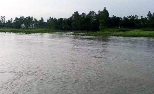
RANGPUR, Sept 22, 2020 (BSS) – Water levels of the major rivers continued to fall further at most points amidst heavy monsoon rains in the upper catchment areas of northwestern Indian states in the Brahmaputra basin during the last 24 hours.
Bangladesh Water Development Board (BWDB) officials said water levels of major rivers marked further fall comparatively slower rate amid onrushing water from the upper catchment during the period.
According to the Flood Forecasting and Warning Centre of BWDB, the recorded rainfalls were 160 mm at Cherrapunji, 134 mm at Shillong and 126 mm at Darjeeling and 56mm at Gangtok in northwestern Indian states during the last 24 hours ending 9am today.
BWDB sources said water levels of the Brahmaputra marked little fall by four cm at Noonkhawa and two cm at Chilmari while Dharla by 20 cm at Kurigram and Ghaghot rose by four cm at Gaibandha points.
Water levels of the Jamuna marked fall by three cm each at Fulchhari, Bahadurabad and Sariakandi and one cm Kazipur and five cm Sirajganj points during the period in the Brahmaputra basin.
Besides, water level of the Teesta rose by 39 cm at Dalia point and fell by 14 cm at Kawnia point and were flowing below the DM by 36 cm and 76 cm at these points respectively at 9 am today.
The Brahmaputra was flowing below the DM by 95 cm at Noonkhawa and 45 cm at Chilmari while Dharla by 44 cm at Kurigram and Ghaghot by 61 cm at Gaibandha points at 9 am.
The Jamuna was flowing below the DM by 42 cm at Fulchhari, 40 cm at Bahadurabad, five cm at Sariakandi, 16cm Kazipur and 24cm at Sirajganj points in the Brahmaputra basin at 9 am today.
Executive Engineers of BWDB’s Kurigram division Md. Ariful Islam and Mokhlesur Rahman for its Gaibandha division said water levels of major rivers were falling at comparatively lower rates in these districts.
Talking to BSS, Chief Engineer for Rangpur Zone of BWDB Jyoti Prosad Ghosh said incidents of sporadic riverbank erosion have been reported from various riverside areas in Kurigram, Lalmonirhat and Gaibandha districts.
“All flood control structures and devices of BWDB are remaining safe everywhere in Rangpur zone where riverbank protection works are being conducted at few vulnerable points,” Ghosh added.
Additional Director of the Department of Agricultural Extension (DAE) for Rangpur region Muhammad Ali said the current phase of the deluge has submerged standing crops on 5,858 hectares of land in Kurigram, Gaibandha, Lalmonirhat and Rangpur districts.
“The floodwaters are receding from inundated crop lands without causing any major damage following short-term submergence this time at places in Rangpur agriculture region,” Ali said.
Additional Divisional Commissioner (General) Md. Zakir Hossain said the district administrations and BWDB authorities are closely monitoring the situation in low-lying riverine and char areas of Rangpur division.


