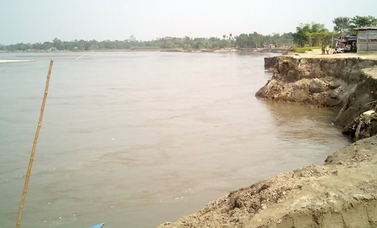
SANGSAD BHABAN, June 18, 2019 (BSS) – State Minister for Water Resources Zaheed Farooque today said a flood and riverbank erosion map will be prepared aiming to modernise the country’s flood and riverbank erosion forecasting system.
“With the technical support from Google, a ‘flood and riverbank erosion map’ will be prepared covering the entire country,” he said while responding to a tabled question placed by ruling party lawmaker Haji Md Selim (Dhaka-7) in the House.
Farooque said Bangladesh Water Development Board (BWDB) collects data of water flow, salinity, sediment, rainfall, evaporation and weather as part its regular activities.
Noting that data collection process of the Water Development Board will be modernised, he said the government has taken a Taka 340 crore project titled ‘Bangladesh Weather and Climate Services Regional Project Component-B: Strengthening Hydrological Information Services and Early warning System’ to do so, which is expected to be completed by June 2021.
The state minister said at present, BWDB provides weather forecast for five days on experiential basis, while the weather forecast of the whole country will be disseminated soon for five days.
He said all the water management infrastructures of the BWDB will be brought under surveillance by formulating GIS data base.
A GIS and modelling centre will be set up at BWDB, Farooque said, adding that Bengal Delta Hydraulic Institution will be established in the country to improve the capacity of the BWDB’s officials.


