
SYDNEY, Oct. 10, 2018 (BSS/Xinhua) – The risk of El Nino global warming
events hitting the southern hemisphere is now at 70 percent or three times
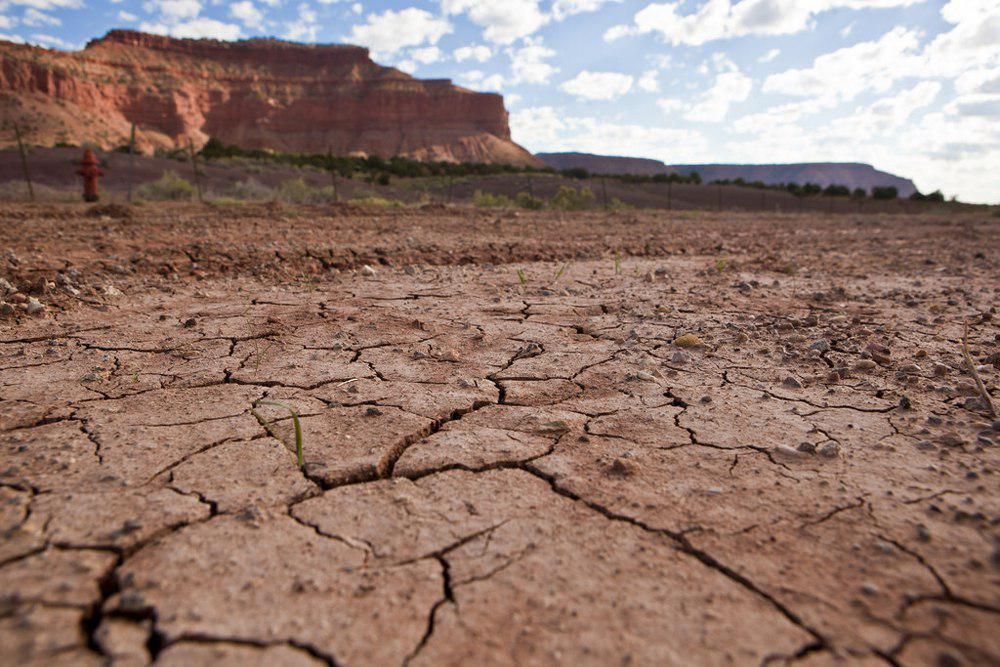
the normal level, raising the heat on severe drought-affected areas in
eastern Australia, according to national weather authorities.
Recent patterns in the tropical Pacific Ocean and in the overlying
atmosphere “indicate the early stages of an El Nino event could be underway,”
with any such event in spring typically meaning “below average rainfall
across eastern and northern Australia and above-average temperatures in the
southeast,” the Bureau of Meteorology said in its latest alert issued
Tuesday.
El Nino events are characterized by an unusual warming of the central to
eastern equatorial Pacific, which can last up to one year, according to
meteorologists.
The remote “ripple effects” can be found in the atmosphere as well as
ocean currents and ecosystems. During an El Nino event, warmer waters gather
in the eastern Pacific Ocean with cooler waters closer to Australia. This
typically means less precipitation and rainfall over the Australian
continent.
“Like everyone in the Australian community, the Bureau of Meteorology is
hoping regions being affected by drought will recover soon. However, if an El
Nino were to occur, we’re more likely to see drier and warmer than average
conditions,” said the bureau’s manager of long-range forecasting Dr Andrew
Watkins.
Australia has been hit by one of its most severe droughts in recent
months, with authorities ramping up aid to help the major eastern
agricultural states of New South Wales and Queensland deal with low crop
production and livestock losses.